 Gatewing
Services
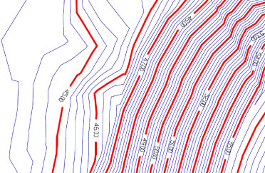
Topographic
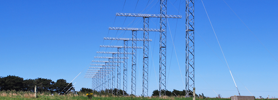
TrueSouth can undertake a large variety of site mapping projects.
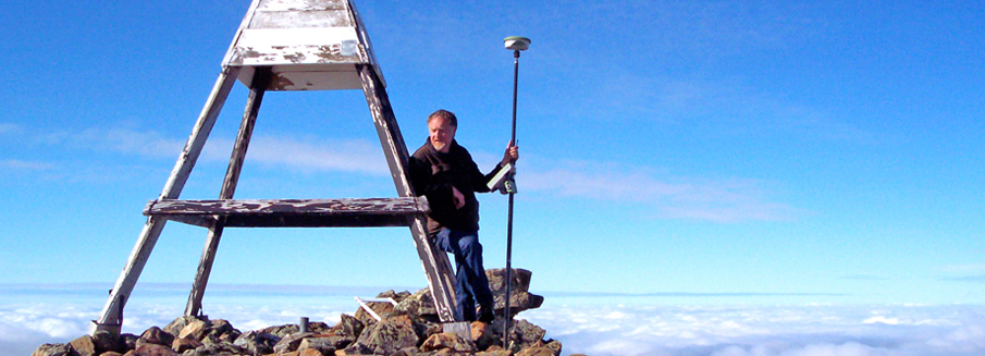
We use Total Station and GPS technology including vehicle mounted receivers to capture the data that is important for your project using the best methods possible.
Our field staff are equipped with three RTK GPS systems. This gives us the capability of simultaneously capturing data using three field staff.
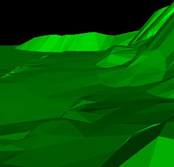
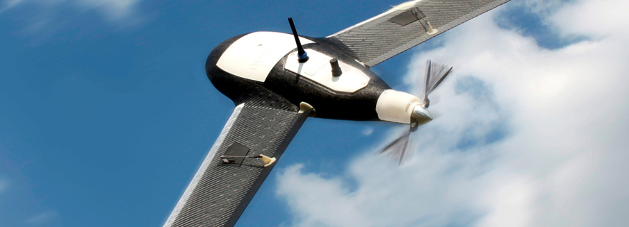
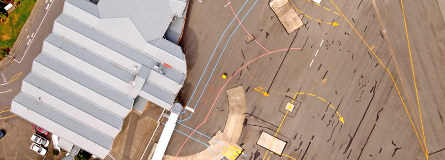
TrueSouth can also capture topographic data by aerial mapping means.
We produce high accurate digital terrain models used in the support of engineering and land development projects.